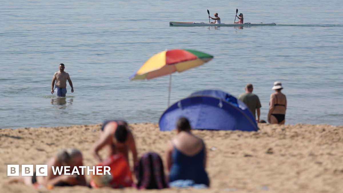
Britain’s record-shattering May heatwave is finally breaking, with temperatures across most of England set to plunge by as much as 10°C on Wednesday. The mercury, which soared to 35.1°C at Kew Gardens on Tuesday—becoming the UK’s hottest May day on record—will retreat from the north and east as a maritime airflow drives in from the North Sea.
London and the southeast will still crackle under 27°C on Wednesday, short of the 28°C threshold needed to maintain official heatwave status. But the West Midlands, Yorkshire and the northeast will drop into the upper teens, offering relief to millions. Wales, Devon and Cornwall, however, remain trapped under subtropical air, with highs still touching 30°C.
Key Points
- ✅ Tuesday set a new UK May record at 35.1°C in London
- ⚡ Wednesday brings a 10°C drop in northern and eastern England
- 💡 London and southeast still feel heat, but below heatwave standard
By Thursday, the relief will be short-lived. Forecasters warn hot air will surge back from France, pushing temperatures back toward 30°C across central and southern England. The jet stream, currently parked north of the UK, is forecast to sag southward by Friday, ushering in a more unsettled Atlantic regime—lower pressure, scattered showers and gustier winds that should finally extinguish the heatwave by the opening week of June.
📋 By The Numbers
- 6 — Amber heat health alerts issued across England and Wales
- 30 — Years since UK last exceeded 30°C in May before 2024
Climate scientists describe the episode as a portent of accelerating change. Professor Ed Hawkins at the University of Reading said such early-season heatwaves are emerging earlier, intensifying faster and occurring on a “much warmer background climate.” Between record-keeping began in 1884 and 2020, only five Mays had ever seen temperatures reach or exceed 30°C; now, two such events have occurred in the last three years.
| Region | Wednesday High | Thursday High | Alert Status |
|---|---|---|---|
| London & Southeast | 27°C | 29°C | Heatwave ends Wed |
| West Midlands | 20°C | 28°C | Alert lifted Wed |
| Southwest England | 30°C | 31°C | Amber alert continues |
| Yorkshire | 19°C | 22°C | No alert |
For those still sweltering in the southwest, the reprieve may be brief. The Met Office warns that renewed heat from Friday onward could push parts of Cornwall and Devon back above 30°C, raising concerns about drought stress on already parched soils. Farmers in Somerset report cracked earth and stunted grass growth, with water companies preparing for further hosepipe bans.
💡 Pro Tip
Keep a damp towel over bedroom windows overnight to lower indoor temperatures by up to 3°C without air-conditioning.
With the jet stream’s southward lurch, the pattern shift is expected to bring the first measurable rain in over two weeks to parts of northern England by Thursday evening. Yet meteorologists caution that the reprieve may be temporary—climate projections suggest Britain’s springs are warming twice as fast as autumns, raising the likelihood of more May heatwaves in the coming decade.
- 📊 Met Office data shows May 2024 was 2.8°C above the 1991-2020 average
- 🔍 Six of the UK’s ten warmest Mays have occurred since 2000
- ⚠️ Even brief heatwaves in May can trigger early crop flowering, risking frost damage if cold snaps return