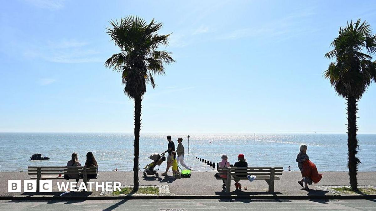
Britain is on the brink of a dramatic spring heatwave, with forecasters predicting temperatures to climb as high as 26°C in parts of the southeast by the end of next week. After a week of unseasonably cold winds, hail and scattered thunderstorms, the weather is poised to flip within days, delivering a dramatic shift to warmer conditions.
The sudden turnaround follows a week where northerly winds dragged temperatures 4–7°C below the seasonal average, leaving large swathes of the country shivering under showers, hail and even isolated thunderstorms. The Met Office has confirmed that while some areas will still see rain, a building area of high pressure from the south will bring clearer skies and rapidly rising temperatures.
📋 Temperature Milestones This Year
- 26.6°C — Highest UK temperature recorded at Kew Gardens on April 8
- 24.8°C — Highest in Wales, Mona Airfield, April 7
- 23.9°C — Scotland’s peak at Achnagart on April 30
- 21.5°C — Northern Ireland’s warmest at Altnahinch on April 25
By Tuesday and Wednesday, temperatures are expected to reach 16–20°C across most of the UK, aligning with seasonal norms. However, the real warmth arrives later in the week as southerly winds strengthen, pushing readings into the low 20s and potentially challenging recent highs. The southeast, particularly London and Kent, stands the best chance of nearing or exceeding the year’s current maximums.
| Region | Expected Peak | Weather Trend |
|---|---|---|
| Southeast England | 24–26°C | Mostly dry, sunny spells |
| Southwest England | 20–23°C | Mixed, isolated showers |
| Midlands | 18–21°C | Sunny breaks, chance of rain |
| Northern England | 15–18°C | Cloudy, scattered showers |
| Scotland | 14–17°C | Unsettled, rain likely |
| Wales | 17–20°C | Sunny periods, light rain |
| Northern Ireland | 15–18°C | Changeable, breezy |
While the weekend remains variable—with Saturday starting bright but cloud and rain spreading from the west by evening—Sunday will offer a taste of the coming warmth, with temperatures climbing to 12–16°C and lighter winds making it feel more pleasant than the previous week.
💡 Pro Tip
Keep an eye on local forecasts midweek, as the south and east could see the first 25°C+ days of 2024. Gardeners should prepare for a rapid growth surge, while drivers may face sudden bursts of wet weather before the dry spell sets in.
The Met Office has cautioned that while the trend is clear, there remains some uncertainty in the exact timing of the warmest spell. Nonetheless, the pattern suggests the warm, settled weather could persist into the upcoming bank holiday weekend, offering a welcome reprieve after a notably cool and damp spring.
Key Points
- ✅ Temperatures will surge to 26°C in southeast England by Friday
- ⚡ High pressure from the south will dominate next week, bringing clearer skies
- 💡 The warm spell may challenge the year’s current UK temperature records
For now, Britons are advised to enjoy the sudden burst of warmth while it lasts—it’s a sharp contrast to the icy winds and hail that have defined much of this unsettled spring.
