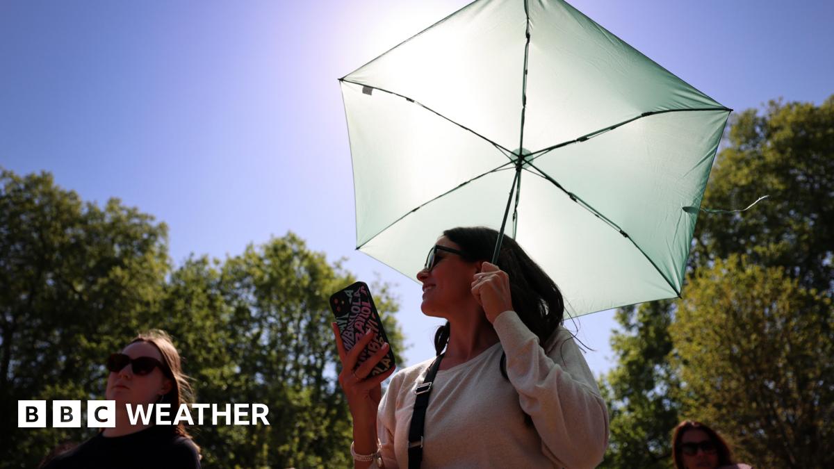
Parts of the UK are on alert for a potential heatwave as temperatures surge ahead of the Late May Bank Holiday weekend, with forecasters predicting highs of 28C in south-eastern England. The Met Office confirmed the warm spell follows a week of unseasonably cold conditions, with last week’s northerly winds giving way to a southerly airflow carrying warmer air from the Continent.
Darren Bett, lead weather presenter for the BBC, described the shift as a "significant reversal" from the previous week’s chill, when temperatures struggled to reach double digits. By Wednesday, most regions will see highs of 21C, with conditions turning drier midweek—though rain is expected to linger in western areas. The warmest stretch arrives Thursday through Sunday, coinciding with the bank holiday.
Key Points
- ✅ Temperatures to reach 28C in south-eastern England by Friday
- ⚡ Heatwave possible in Herefordshire and Worcestershire if thresholds are met
- 💡 Eastern coastal areas may stay cooler due to easterly winds
A heatwave in the UK is officially declared when at least three consecutive days exceed county-specific temperature thresholds, ranging from 25C in Northern Ireland to 28C in Greater London. While forecasters suggest Herefordshire and Worcestershire are most likely to meet the criteria, the outcome hinges on whether showers develop over the weekend. Shower activity is expected in Scotland, Wales, and western England on Saturday, with southern England potentially seeing Sunday rain as high pressure builds over northern regions.
| Region | Friday High | Weekend Outlook |
|---|---|---|
| South-Eastern England | 28C | Mostly dry |
| Northern England | 23C | Scattered showers |
| Scotland | 20C | Widespread showers Saturday |
| Wales | 22C | Intermittent rain |
The warmest weather of 2024 so far will eclipse the 26.6C recorded at Kew Gardens in early April, marking a sharp contrast to the wet and chilly start to the week. Met Office data shows south-westerly winds initially dominated, bringing Atlantic moisture and low-pressure systems before high pressure from the east ushers in the warmer air. Bett noted that the southerly breeze will be the primary driver of the heat spike, with the potential for temperatures to feel even warmer in urban areas due to the urban heat island effect.
💡 Pro Tip
If planning outdoor activities, check local forecasts on Friday morning—shower timing in western regions remains unpredictable, with some areas likely to see bursts of heavy rain even as the country warms.
While Monday is forecast dry nationwide, an easterly wind is expected to develop, keeping North Sea coastal areas several degrees cooler than inland locations. The Met Office advises holidaymakers to prepare for variable conditions, with temperatures ranging from 20C to 26C across the long weekend. Southern England may see lingering showers on Sunday, but the bulk of the rain should clear by Monday morning. Forecasters emphasize that while the heatwave is not yet guaranteed, the ingredients are in place for a notably warm bank holiday.
📋 By The Numbers
- 26.6C — Highest temperature recorded in the UK so far this year (Kew Gardens, April 9)
- 25C — Heatwave threshold for Northern Ireland, the lowest in the UK
- 3 days — Minimum duration required for an official UK heatwave declaration
The coming warmth arrives amid warnings from climate scientists about the increasing likelihood of extreme weather events, including very strong El Niño conditions later this year. While this weekend’s heatwave is not directly linked, it underscores the volatility of the UK’s weather patterns. For now, residents in Herefordshire, Worcestershire, and the South East are advised to make the most of the unseasonable warmth—while keeping an umbrella handy just in case.