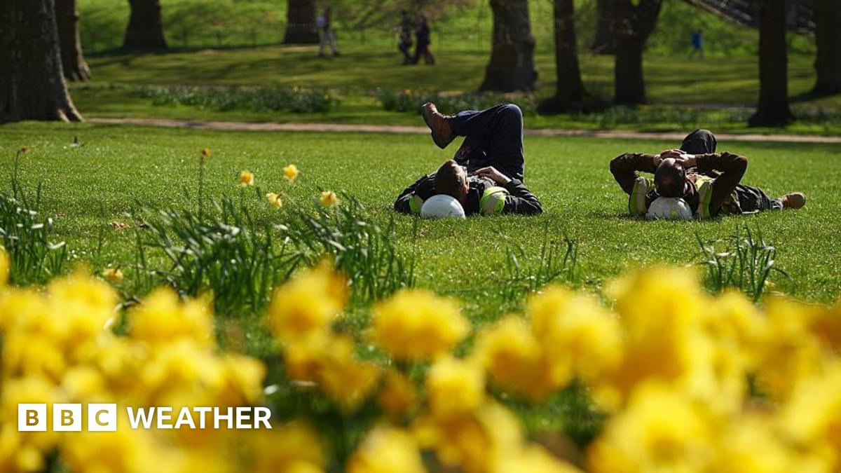
The UK is on track to record its warmest day of the year Wednesday, as a Mediterranean blast of air pushes temperatures into the mid-teens across England and Wales. Forecasters warn the mercury could hit 19°C in parts of the Midlands, northwest England or northwest Wales—toppling the current annual high of 19.2°C set in London last month.
After a chilly interlude that brought snow to higher ground and left daytime highs struggling to reach 10°C, the sudden shift stems from a southerly airflow drawing Mediterranean warmth northward. Wales is tipped to surpass its own early-year record of 17.8°C, logged in Porthmadog on March 5, as the warm spell peaks Wednesday under clear skies.
Key Points
- ✅ Wednesday’s high could hit 19°C, the UK’s warmest day of 2024
- ⚡ The surge follows a cold snap that dropped highs below 10°C in many areas
- 💡 The warm spell aligns with the spring equilux, marking equal day and night lengths
The balmy conditions arrive just days before the spring equinox on March 20, but meteorologists note the equilux—when daylight and darkness balance—will be felt Wednesday as the lengthening days finally eclipse the nights. Temperatures are set to ease slightly Thursday, though remaining above seasonal norms through the weekend.
| Region | Peak Temp Forecast (°C) | Records At Risk |
|---|---|---|
| Wales | 18–19 | 17.8°C (Porthmadog, March 5) |
| Midlands | 19 | None set in 2024 |
| Northwest England | 18–19 | None set in 2024 |
| Northwest Wales | 19 | None set in 2024 |
While northern pockets of the UK may stay under cloud cover, England and Wales will bask in predominantly sunny conditions, with only Northern Ireland and western Scotland expected to see patchy rain Tuesday. High pressure will anchor the dry spell through the weekend, though early morning mist and fog could linger in some valleys.
📋 By The Numbers
- 19.2°C — Current highest UK temperature of 2024, recorded in London
- 17.8°C — Wales’ 2024 high, set in Porthmadog on March 5
- 6–7°C — Above average temperature surge expected Wednesday
The warm spell offers a stark contrast to the Arctic chill that gripped Britain last week, when snow blanketed upland areas and nighttime frosts returned. Energy analysts warn households to brace for higher heating demand until midweek, before the unseasonal warmth arrives. Forecasters caution the mercury will dip again by Thursday, though not to winter levels.
💡 Pro Tip
Use Wednesday’s warmth to air out homes before the inevitable cooldown—open windows in the late morning to flush out lingering damp and reduce indoor humidity while temperatures peak.
The Met Office has not ruled out isolated frost in sheltered northern valleys overnight, but daytime conditions remain set fair for the majority. With daylight hours now stretching past 12 hours in southern England, the equilux marks a symbolic turning point in the UK’s seasonal shift toward spring.
- Wednesday — Peak warmth (19°C possible), clear skies, longest days ahead
- Thursday — Slight cooldown but still above average; patchy cloud in north
- Weekend — Dry and sunny, though mornings may start misty in valleys
The sudden thaw follows one of the wettest winters on record for parts of the UK, with the Environment Agency warning of continued flood risks in saturated catchments. Yet for millions, Wednesday’s forecast brings a long-awaited taste of spring—brief, but intense.
